

Welcome to our drone company!
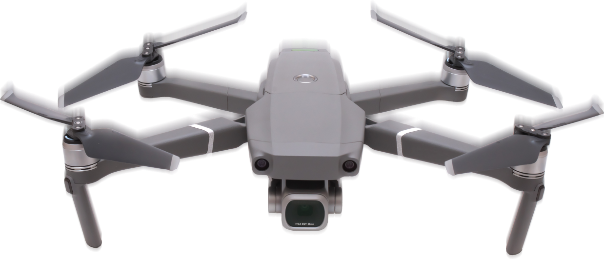
We specialize in using drones with a multispectral camera to map fields and provide valuable insights to farmers. Our cutting-edge technology allows us to capture high-resolution images of crops, which can be used to identify areas that need attention. With our data, we can help farmers optimize their yields and increase their profits.
Additionally, we use our drones to provide accurate and efficient mapping solutions for construction sites. Our team is dedicated to utilizing the latest technology to showcase site inspections, track project progress, obtain material volumetric reports, and view 3D models of the site. With our expertise, we can help streamline your construction process and provide you with the data you need to make informed decisions.
Contact us today to learn more about how can help you!
Coming soon…
N/A
Client


Feel free to let us know!
Copyright©2024 Early Rise
Privacy Policy
Term & Services