Agricultural Services

Farmers and Ranchers

Detailed Data Collection

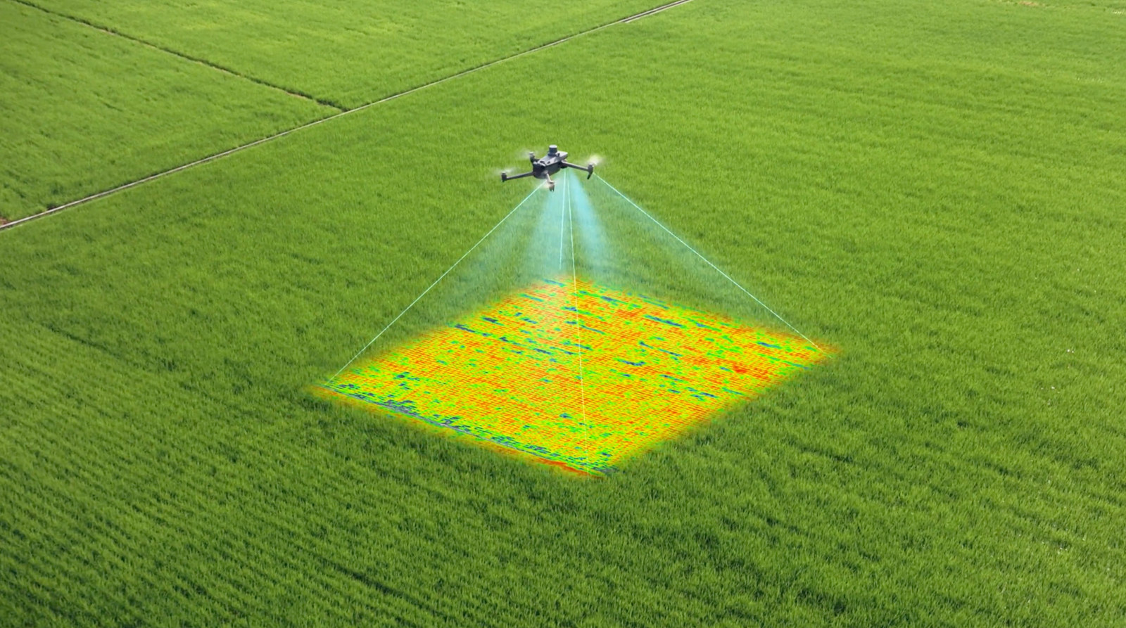
At Early Rise Drone Solutions LLC, we specialize in providing high-quality agricultural mapping services using advanced drone technology. Our focus is on delivering precise and comprehensive mapping solutions to help you make informed decisions about your agricultural operations.

Transforming Agriculture with Precision and Innovation

Drone Mapping
  • Aerial NDVI Mapping: Conducted thorough a multispectral camera to assess crop health, identify problem areas, and monitor growth patterns. Using these maps allows the user to monitor and tend to specific areas of the field. 
  • Topographic Mapping: Generate a detailed surface map, or DSM, to understand the terrains elevation and optimize land use.
  • Crop Scouting: Understand the state of the fields after planting and determine if replanting, spraying or any adjustments are needed.
  • Custom Spray Map: Using AI to evaluate the field and create a custom spray map with variable rates. This can be used for spot spraying weeds or variable rate fertilizer to ensure that the user is only spraying what the field requires and can be an effect way to save cost.
Why Choose Early Rise?
  • Advanced Technology: We use the latest drone technology to ensure the highest accuracy and quality in our mapping services.
  • Expertise: Our team has extensive experience in agricultural mapping, providing you with reliable data and insights.
  • Cost-Effective: Using the NDVI maps generated you can make informed decisions to allows users to reduce chemical costs, increase yield, and protect the environment.
Our Work Samples

Experience unforgettable moments with Early Rise Drone Solutions LLC

At Early Rise Drone Solutions LLC, we are transforming the agricultural industry with cutting-edge drone technology and innovative services. Our agricultural solutions are tailored to boost productivity, optimize resource utilization, and promote sustainable farming practices.